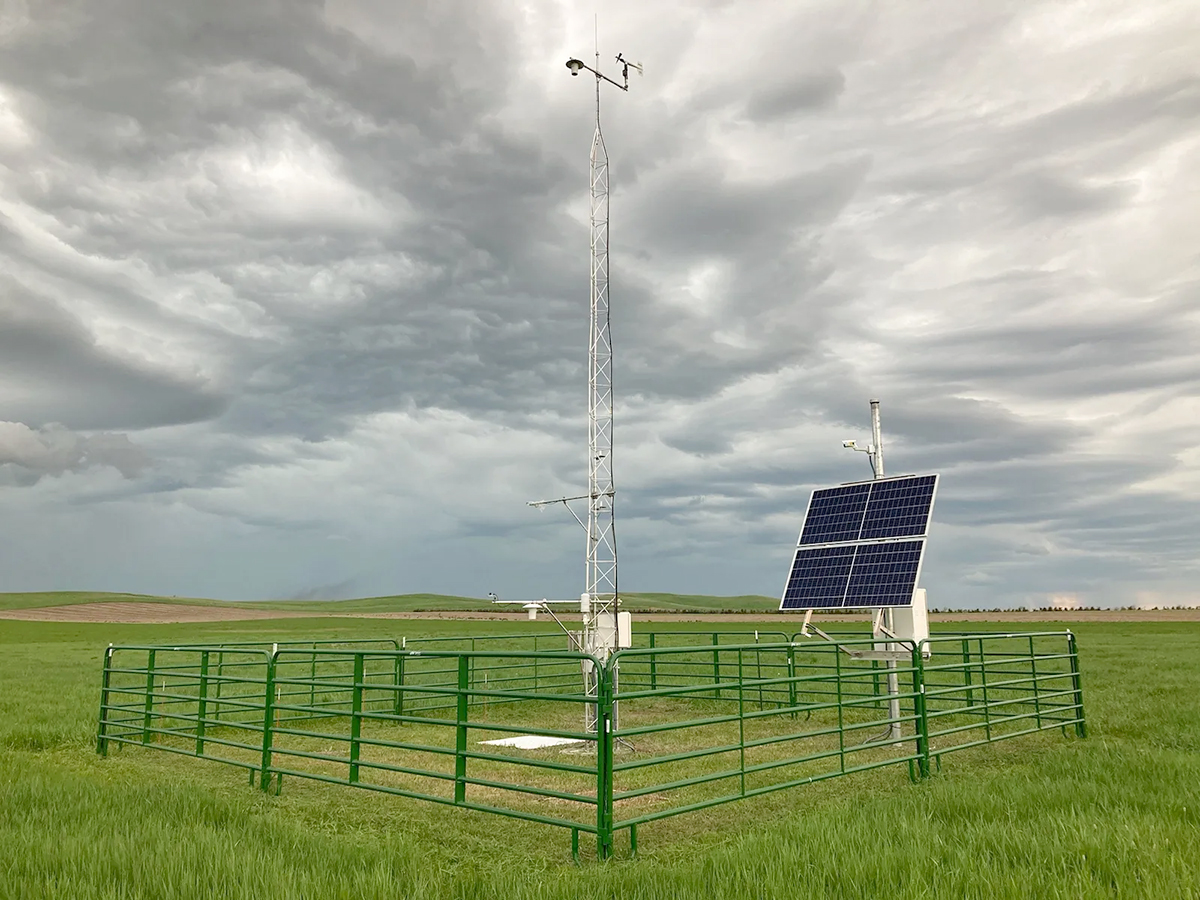
Long-term soil moisture, snowpack monitoring is useful for predicting natural disasters

Since 2010, record floods and droughts have had significant agricultural, ecological, economic, and social impacts within the Upper Missouri River Basin (UMRB), an area that covers nearly 700,000 km2 of the United States. These natural disasters are closely associated with soil moisture and snowpack conditions and are expected to increase in frequency in the future due to climate change. Currently, limited information is available regarding soil moisture and snowpack levels within the UMRB, but these data have the potential to improve natural disaster predictions and water resource management.
Researchers from Texas A&M University reviewed existing soil moisture and snowpack monitoring efforts within the UMRB, summarizing 242 studies that utilized these types of data for applications such as drought and flood prediction and providing recommendations for future studies and applications within the UMRB. As a part of NOAA’s National Integrated Drought Information System (NOAA-NIDIS) UMRB Soil Moisture and Snowpack Data Value Study, the review emphasizes the high potential value of soil moisture and snowpack monitoring data both within the UMRB and beyond.
Dig deeper
Wang, M., & Wyatt, B. M. (2025). The value of long-term in situ soil moisture and snowpack monitoring: Laying the foundation for future studies in the Upper Missouri River Basin. Vadose Zone America Journal, 24, e70010. https://doi.org/10.1002/vzj2.70010
Text © . The authors. CC BY-NC-ND 4.0. Except where otherwise noted, images are subject to copyright. Any reuse without express permission from the copyright owner is prohibited.


