Locating Tile Lines on a Research Farm

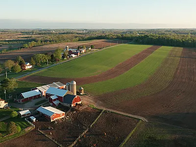
Millions of acres of seasonally wet soils are artificially drained by subsurface “tile” lines to remove excess water early in the growing season. The soils on Purdue University’s Agronomy Center for Research and Extension (ACRE) in West Lafayette, IN, are representative of the seasonally wet soils that cover much of the U.S. Corn Belt.
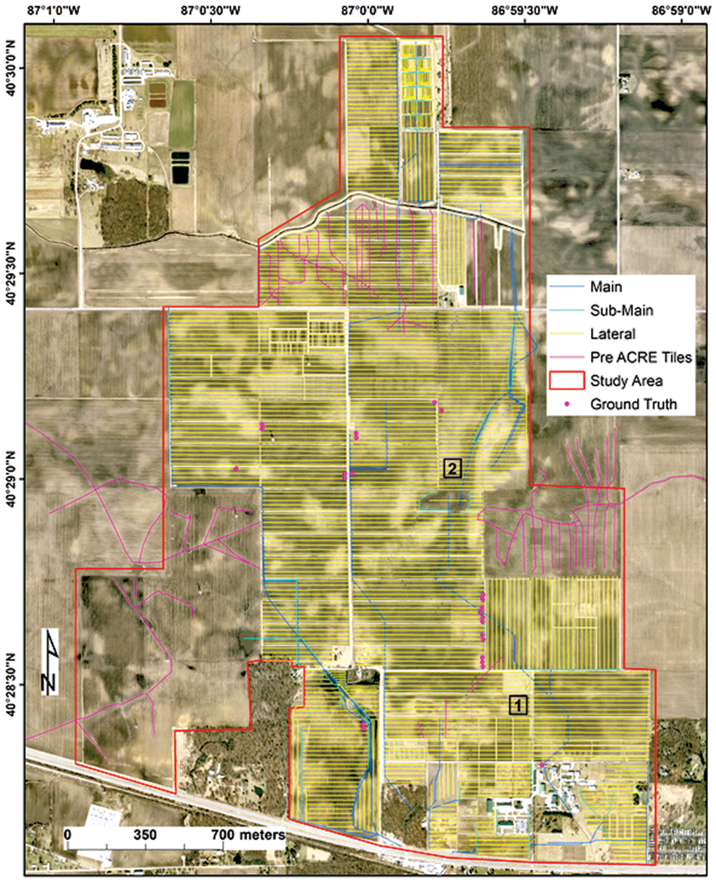
Between 1949 and 2020, ACRE grew from 374 to 1,418 acres. Because tile drainage was installed throughout this period, information on locations, when not missing completely, was a hodgepodge of paper maps, electronic files, and farm manager knowledge. There was a need for accurate maps of tile line locations because tile lines themselves are sources of spatial variability within research fields that are now monitored intensively during the growing season with various sensors on unmanned aerial vehicles (UAVs).
Purdue researchers used visual aerial photo interpretation, expert knowledge, and paper and electronic maps to manually map tile line locations into a geographic information system. They located tile lines with a tile probe at 24 locations in the field and found that their map predicted locations within ±1.23 m. The manual approach efficiently identifies tile lines in a small area like ACRE but may be too time‐consuming for larger areas.
Adapted from Rahmani, S.R., & Schulze, D.G. (2023). Mapping subsurface tile lines on a research farm using aerial photography, paper maps, and expert knowledge. Agrosystems, Geosciences & Environment, 6, e20362. https://doi.org/10.1002/agg2.20362
Text © . The authors. CC BY-NC-ND 4.0. Except where otherwise noted, images are subject to copyright. Any reuse without express permission from the copyright owner is prohibited.


